2018
SN6929 : Farmland east of the A40
taken 6 years ago, near to Ashfield, Carmarthenshire/Sir Gaerfyrddin, Wales
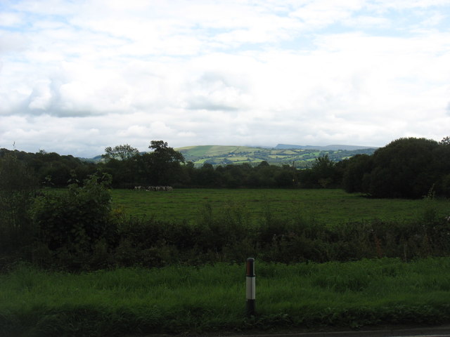
Farmland east of the A40
Fields leading down to the Afon Tywi (River Towy).
It was a surprise to see, almost dead centre and across intermediate lower hills, the clear profile of Hay Bluff SO2436 just over 30 miles away.
It was a surprise to see, almost dead centre and across intermediate lower hills, the clear profile of Hay Bluff SO2436 just over 30 miles away.
 Map © Crown Copyright")
TIP: Click the map for more Large scale mapping
- Grid Square
- SN6929, 20 images (more nearby 🔍)
- Photographer
- David Purchase (more nearby)
- Date Taken
- Tuesday, 4 September, 2018 (more nearby)
- Submitted
- Sunday, 9 September, 2018
- Subject Location
-
OSGB36:
 SN 6979 2938 [10m precision]
WGS84: 51:56.8578N 3:53.7560W - Camera Location
-
OSGB36: SN 6948 2929
- View Direction
- East-northeast (about 67 degrees)