2018
SP1721 : Oxfordshire Way and Diamond Way
taken 6 years ago, near to Wyck Rissington, Gloucestershire, England
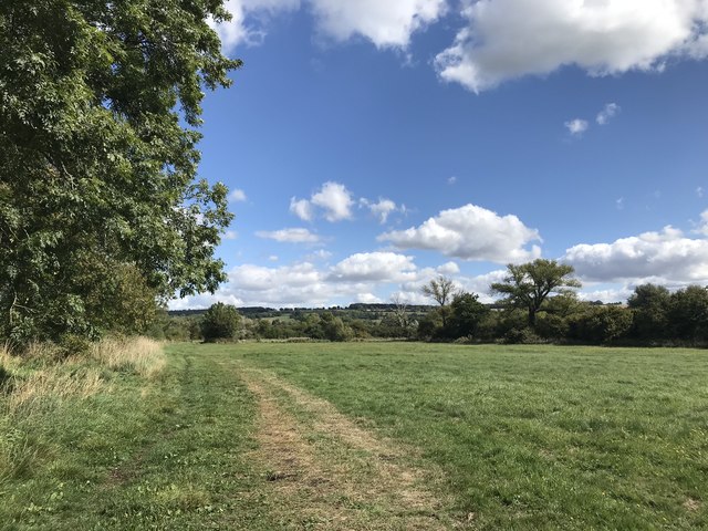
Oxfordshire Way and Diamond Way
 Map © Crown Copyright")
TIP: Click the map for more Large scale mapping
- Grid Square
- SP1721, 37 images (more nearby 🔍)
- Photographer
- don cload (more nearby)
- Date Taken
- Friday, 7 September, 2018 (more nearby)
- Submitted
- Tuesday, 11 September, 2018
- Subject Location
-
OSGB36:
 SP 1789 2147 [10m precision]
WGS84: 51:53.4900N 1:44.4868W - Camera Location
-
OSGB36: SP 1775 2141
- View Direction
- East-northeast (about 67 degrees)