2018
SD8203 : The Ostrich public house, Prestwich
taken 6 years ago, near to Prestwich, Bury, England
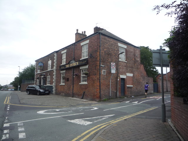
The Ostrich public house, Prestwich
On Bury Old Road.
A665 Road
A 12 mile long road from Breightmet to Manchester.
Before the motorways, the A665 relieved the main A56 south into Manchester, and provided an alternative for traffic heading to the city centre (there is still a sign on the A56 south which shows the A665 as "Manchester City Centre East"). Since the M60/M62, probably less important, but the lower section, Cheetham Hill Road, still forms part of the main, signed route into Manchester when coming from the east on the M62.
 Map © Crown Copyright")
TIP: Click the map for more Large scale mapping
- Grid Square
- SD8203, 182 images (more nearby 🔍)
- Photographer
- JThomas (more nearby)
- Date Taken
- Monday, 10 September, 2018 (more nearby)
- Submitted
- Tuesday, 11 September, 2018
- Subject Location
-
OSGB36:
 SD 8244 0354 [10m precision]
WGS84: 53:31.6934N 2:15.9819W - Camera Location
-
OSGB36: SD 82455 03563
- View Direction
- Southwest (about 225 degrees)