2018
TM4198 : Loddon Road, Norton Subcourse
taken 6 years ago, near to Thurlton, Norfolk, England
This is 1 of 7 images, with title Loddon Road, Norton Subcourse in this square
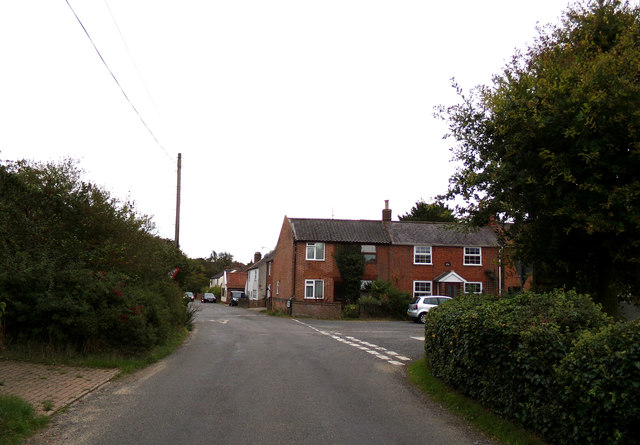
Loddon Road, Norton Subcourse
At the junction with The Street
Road No.C385
Road No.C385
 Map © Crown Copyright")
TIP: Click the map for more Large scale mapping
- Grid Square
- TM4198, 290 images (more nearby 🔍)
- Photographer
- Geographer (more nearby)
- Date Taken
- Wednesday, 12 September, 2018 (more nearby)
- Submitted
- Thursday, 13 September, 2018
- Subject Location
-
OSGB36:
 TM 41297 98590 [1m precision]
WGS84: 52:31.9012N 1:33.3727E - Camera Location
-
OSGB36: TM 41276 98614
- View Direction
- Southeast (about 135 degrees)