2018
SP8988 : The White Hart, High Street
taken 6 years ago, near to Corby, North Northamptonshire, England
This is 1 of 2 images, with title The White Hart, High Street in this square
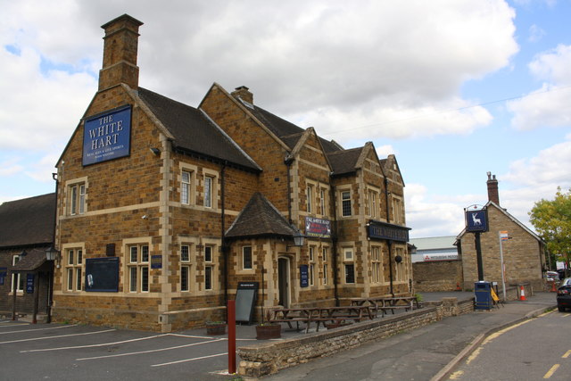
The White Hart, High Street
There is an OS benchmark SP8988 : Benchmark on the White Hart on the near corner, left hand face, of the pub.
 Map © Crown Copyright")
TIP: Click the map for more Large scale mapping
- Grid Square
- SP8988, 43 images (more nearby 🔍)
- Photographer
- Roger Templeman (more nearby)
- Date Taken
- Thursday, 13 September, 2018 (more nearby)
- Submitted
- Wednesday, 26 September, 2018
- Subject Location
-
OSGB36:
 SP 8932 8885 [10m precision]
WGS84: 52:29.4157N 0:41.1562W - Camera Location
-
OSGB36: SP 8930 8883
- View Direction
- Northeast (about 45 degrees)