2018
SE4134 : Footpath North of Garforth
taken 6 years ago, near to Garforth, Leeds, England
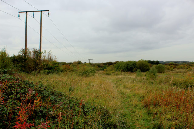
Footpath North of Garforth
It runs through an area of scrubland and out of control vegetation, possibly the aftermath of a long abandoned colliery.
 Map © Crown Copyright")
TIP: Click the map for more Large scale mapping
- Grid Square
- SE4134, 21 images (more nearby 🔍)
- Photographer
- Chris Heaton (more nearby)
- Date Taken
- Saturday, 22 September, 2018 (more nearby)
- Submitted
- Wednesday, 26 September, 2018
- Subject Location
-
OSGB36:
 SE 4114 3418 [10m precision]
WGS84: 53:48.1380N 1:22.6101W - Camera Location
-
OSGB36: SE 4117 3415
- View Direction
- Northwest (about 315 degrees)