2018
SJ1759 : Dry stone wall alongside Offa's Dyke LDP and a bench mark
taken 6 years ago, near to Llanferres, Denbighshire/Sir Ddinbych, Wales
This is 1 of 2 images, with title starting with Dry stone in this square
Dry stone wall alongside Offa's Dyke LDP and a bench mark
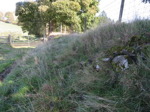
Dry stone wall and bank alongside Offa's Dyke LDP just before the LDP turns sharp left up Moel Eithinen towards the hillfort Foel Fenlli. The exposed stone on the right has an Ordnance Survey bench mark, although the stone is no longer level - SJ1759 : Bench mark alongside Offa's Dyke LDP
 Map © Crown Copyright")
TIP: Click the map for more Large scale mapping
- Grid Square
- SJ1759, 27 images (more nearby 🔍)
- Photographer
- John S Turner (more nearby)
- Date Taken
- Saturday, 29 September, 2018 (more nearby)
- Submitted
- Tuesday, 2 October, 2018
- Subject Location
-
OSGB36:
 SJ 1732 5948 [10m precision]
WGS84: 53:7.5631N 3:14.2228W - Camera Location
-
OSGB36: SJ 1732 5947
- View Direction
- NORTH (about 0 degrees)