2018
SX7276 : Moorland near Dipleigh
taken 6 years ago, near to Widecombe in The Moor, Devon, England
This is 1 of 2 images, with title Moorland near Dipleigh in this square
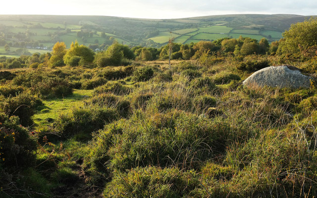
Moorland near Dipleigh
Between Hollow Tor and the Rugglestone; this is one of the easier bits of the journey. Ahead is the East Webburn valley at Widecombe in The Moor.
 Map © Crown Copyright")
TIP: Click the map for more Large scale mapping
- Grid Square
- SX7276, 70 images (more nearby 🔍)
- Photographer
- Derek Harper (more nearby)
- Date Taken
- Saturday, 29 September, 2018 (more nearby)
- Submitted
- Thursday, 4 October, 2018
- Subject Location
-
OSGB36:
 SX 7287 7630 [10m precision]
WGS84: 50:34.3543N 3:47.8003W - Camera Location
-
OSGB36: SX 7289 7629
- View Direction
- West-northwest (about 292 degrees)