2018
NS6591 : Track by the Boquhan Burn
taken 6 years ago, 3 km from Cauldhame, Stirling, Scotland
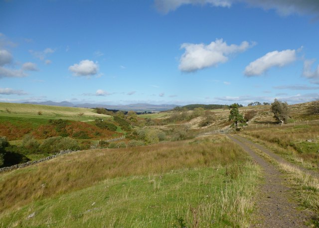
Track by the Boquhan Burn
This track gives easy going underfoot on a walk to the Spout of Ballochleam and the plateau of the Gargunnock Hills.
 Map © Crown Copyright")
TIP: Click the map for more Large scale mapping
- Grid Square
- NS6591, 19 images (more nearby 🔍)
- Photographer
- Alan O'Dowd (more nearby)
- Date Taken
- Friday, 5 October, 2018 (more nearby)
- Submitted
- Saturday, 6 October, 2018
- Subject Location
-
OSGB36:
 NS 6535 9146 [10m precision]
WGS84: 56:5.8134N 4:9.9659W - Camera Location
-
OSGB36: NS 6530 9138
- View Direction
- North-northeast (about 22 degrees)