2018
TL4962 : Horningsea church path in October
taken 6 years ago, near to Horningsea, Cambridgeshire, England
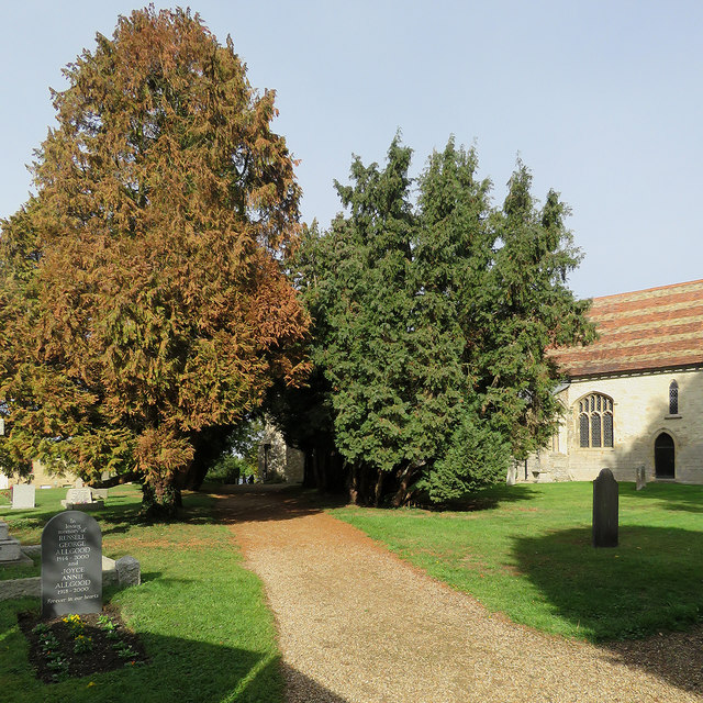
Horningsea church path in October
The path runs from the Crown and Punchbowl on High Street, then diagonally across the churchyard to Church End (ahead).
 Map © Crown Copyright")
TIP: Click the map for more Large scale mapping
- Grid Square
- TL4962, 267 images (more nearby 🔍)
- Photographer
- John Sutton (more nearby)
- Date Taken
- Sunday, 7 October, 2018 (more nearby)
- Submitted
- Sunday, 7 October, 2018
- Subject Location
-
OSGB36:
 TL 4928 6263 [10m precision]
WGS84: 52:14.4971N 0:11.0958E - Camera Location
-
OSGB36: TL 4930 6261
- View Direction
- Northwest (about 315 degrees)