2018
NS3976 : Old curling pond: western edge
taken 6 years ago, near to Renton, West Dunbartonshire, Scotland
Old curling pond: western edge
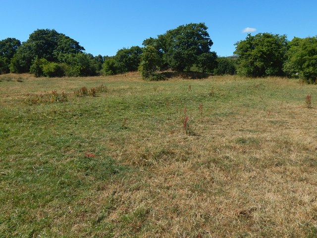
Running obliquely across the picture, just above the centre, is a line that is a darker green than its surroundings; this is the western edge of the old pond; the interior is on the near side of it.
Click on the end-note title for other views, some with water.
Click on the end-note title for other views, some with water.
Old curling pond near Dalmoak Farm
The pond is 50 metres long (WSWNNE) by about 30 metres wide; it is now often dry, and it can therefore be hard to spot, either on the ground or in satellite imagery. It is close to the former site Link of Mains of Cardross Farm, but the field is now associated with Dalmoak Farm. The curling pond first appears on OS maps after the Second World War. The road that used to lead to it from the north (before the A82 was built) passed a large mound that was known locally as "the ashy coup" (also spelled "cowp"), and whose site more or less corresponds to the present-day Dalmoak Recycling Centre.
 Map © Crown Copyright")
TIP: Click the map for more Large scale mapping
- Grid Square
- NS3976, 200 images (more nearby 🔍)
- Photographer
- Lairich Rig (more nearby)
- Date Taken
- Monday, 9 July, 2018 (more nearby)
- Submitted
- Monday, 8 October, 2018
- Subject Location
-
OSGB36:
 NS 3902 7687 [10m precision]
WGS84: 55:57.4675N 4:34.8093W - Camera Location
-
OSGB36: NS 3903 7686
- View Direction
- West-northwest (about 292 degrees)