2018
SE1624 : M62 Eastbound
taken 6 years ago, near to Scholes, Kirklees, England
This is 1 of 5 images, with title starting with M62 in this square
M62 Eastbound
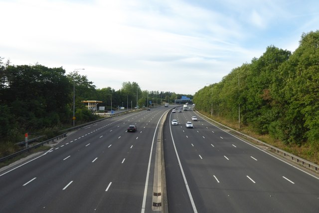
Looking down on the M62 from the bridge connecting the two sides of Hartshead Moor services.
M62 Motorway
The M62 is the west to east trans-Pennine motorway. It is 107 miles long running from Liverpool to Hull. It was built between 1971 and 1976. At Windy Hill it is 372m above sea level, making it the highest point on any British motorway.
Wikipedia: Link
 Map © Crown Copyright")
TIP: Click the map for more Large scale mapping
- Grid Square
- SE1624, 126 images (more nearby 🔍)
- Photographer
- DS Pugh (more nearby)
- Date Taken
- Monday, 6 August, 2018 (more nearby)
- Submitted
- Wednesday, 10 October, 2018
- Subject Location
-
OSGB36:
 SE 1688 2424 [10m precision]
WGS84: 53:42.8585N 1:44.7431W - Camera Location
-
OSGB36: SE 16890 24142
- View Direction
- NORTH (about 0 degrees)