2018
NS4760 : Embankments near the site of Glen House
taken 6 years ago, near to Glenburn, Renfrewshire, Scotland
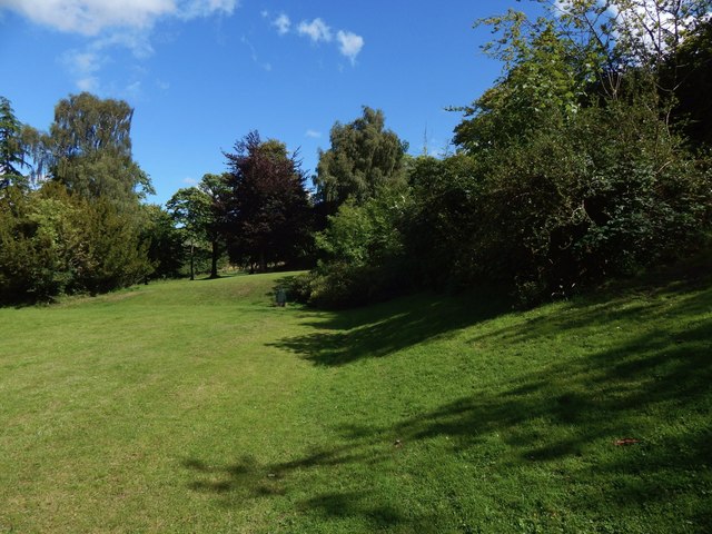
Embankments near the site of Glen House
The long embankment on the uphill side of the house is on the right, and one of the shorter ones at the side is just ahead; another like it is behind the photographer.
For the lower terraces on the remaining side, see NS4760 : Terraces in front of the site of Glen House.
For the lower terraces on the remaining side, see NS4760 : Terraces in front of the site of Glen House.
The former site of Glen House
The house, in what is now the Glen Park, is marked as "the Glen" on the 1913 OS map. When the 1940 map revision was prepared, the building had already been cleared away. The house was on a slope; the results of creating a level space for it can still be seen as a landscaped embankment on the uphill side (the south), two shorter ones to the east and west, and some lower terraces on the downhill side (the north).
 Map © Crown Copyright")
TIP: Click the map for more Large scale mapping
- Grid Square
- NS4760, 111 images (more nearby 🔍)
- Photographer
- Lairich Rig (more nearby)
- Date Taken
- Thursday, 9 August, 2018 (more nearby)
- Submitted
- Saturday, 13 October, 2018
- Subject Location
-
OSGB36:
 NS 4799 6063 [10m precision]
WGS84: 55:48.8960N 4:25.6501W - Camera Location
-
OSGB36: NS 4797 6064
- View Direction
- East-southeast (about 112 degrees)