2018
HU4588 : A698, West Sandwick
taken 6 years ago, near to West Sandwick, Mainland, Shetland Islands, Scotland
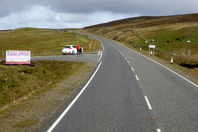
A698, West Sandwick
The A968 is the United Kingdom's northernmost A-road. It is 42 miles long and connects the islands of Yell and Unst to the Shetland Mainland. Travelling the length of the road involves two ferry crossings and the road is actually separated into three sections. The first 10 miles is from the A970 at Voe on the Shetland mainland to the ferry terminal at Toft. The next 17½ miles crosses the island of Yell, running between the ferry terminals at Ulsta and Gutcher. Finally, the road runs for a further 10 miles across Unst from the ferry terminal at Belmont to Haroldswick.
See other images of The A968 (Shetland Islands)
See other images of The A968 (Shetland Islands)
 Map © Crown Copyright")
TIP: Click the map for more Large scale mapping
- Grid Square
- HU4588, 21 images (more nearby 🔍)
- Photographer
- David Dixon (more nearby)
- Date Taken
- Friday, 21 September, 2018 (more nearby)
- Submitted
- Monday, 15 October, 2018
- Subject Location
-
OSGB36:
 HU 4555 8857 [10m precision]
WGS84: 60:34.6814N 1:10.2399W - Camera Location
-
OSGB36: HU 4555 8850
- View Direction
- NORTH (about 0 degrees)