2018

NO6998 : Raemoir

taken 6 years ago, near to Upper Lochton, Aberdeenshire, Scotland

Raemoir
Raemoir
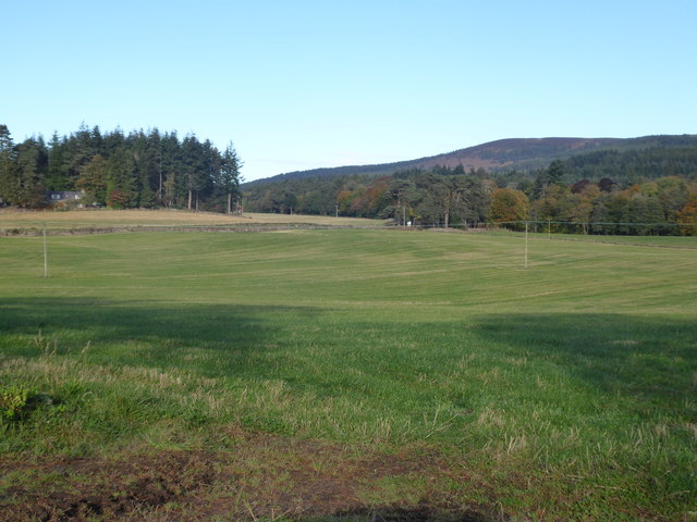
Mill Wood on left; Hill of Fare on right. Seen across grass field from minor road near Hawthorn Wood.

Creative Commons Licence [Some Rights Reserved]   © Copyright Stanley Howe and licensed for reuse under this Creative Commons Licence.
Geographical Context: Uplands Grassland Roads, Road transport Woodland, Forest Postcode Area: AB31 Place: Raemoir Wood: Mill Wood Primary Subject: View other tags: Minor Road Grass Field Hill of Fare Click a tag, to view other nearby images.
This photo is linked from: Automatic Clusters: · Minor Road [4] · Field [3] · Near Mill of Raemoir [3] ·
1:50,000 Modern Day Landranger(TM) Map © Crown Copyright
+
+
1:50,000 Modern Day Landranger(TM) Map © Crown Copyright
TIP: Click the map for more Large scale mapping
Grid Square
NO6998, 20 images   (more nearby 🔍)
Photographer
Stanley Howe   (more nearby)
Date Taken
Saturday, 6 October, 2018   (more nearby)
Submitted
Tuesday, 16 October, 2018
Subject Location
OSGB36: geotagged! NO 6937 9880 [10m precision]
WGS84: 57:4.7512N 2:30.4145W
Camera Location
OSGB36: geotagged! NO 6961 9861
View Direction
Northwest (about 315 degrees)
Clickable map
+
NW N NE
W Go E
SW S SE
Image Type (about): geograph 
This page has been viewed about 32 times
You are not logged in login | register