2007
NS0027 : On the South East end of Urie Loch
taken 16 years ago, 3 km from Lamlash, Isle of Arran, North Ayrshire, Scotland
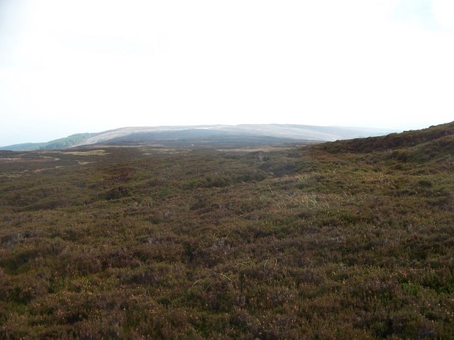
On the South East end of Urie Loch
Plenty of heather for the grouse. The Loch is behind the photographer.
 Map © Crown Copyright")
TIP: Click the map for more Large scale mapping
- Grid Square
- NS0027, 7 images (more nearby 🔍)
- Photographer
- William Bartlett (more nearby)
- Date Taken
- Wednesday, 24 October, 2007 (more nearby)
- Submitted
- Thursday, 25 October, 2007
- Subject Location
-
OSGB36:
 NS 006 277 [100m precision]
WGS84: 55:30.1736N 5:9.5279W - Camera Location
-
OSGB36: NS 004 278
- View Direction
- Southeast (about 135 degrees)