SJ4535 : Llangollen Canal, Bettisfield
taken 5 years ago, near to Bettisfield, Wrexham/Wrecsam, Wales
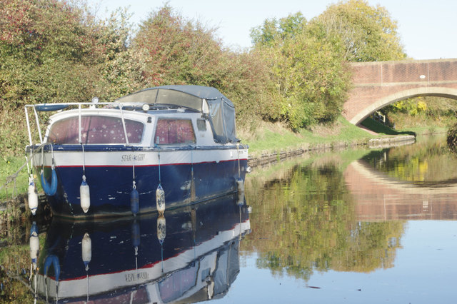
The Llangollen canal is an arm of the Shropshire Union canal that runs from Hurleston Junction to Llangollen with a wide variety of scenery along its course. Its total length is 46 miles, but the last 1½ miles from Llangollen to Llantisilio is unnavigable by any boats over about 10' length.
The canal's vital statistics for craft are:
Length 72 '
Beam 6'10"
Headroom 7'
Draught 2'3" (Hurleston to Pontcysyllte) 2' (P. to Llangollen)
These are the maximum dimensions for any craft, based on the minimum dimensions of locks & bridges.
There are a total of 21 locks on the canal, but only two between Llangollen and Whitchurch (a distance of about 31 miles). One of the most notable things about the canal is the strong flow especially in the "narrows" near Llangollen and in the tunnels near Chirk. About 12 million gallons of water passes down this canal from the River Dee to the Shropshire Union every day.
The most famous feature of this canal is the superb feat of engineering that is the 200-year-old Pontcysyllte Aqueduct rising 126' above the River Dee and running for over 335 yds - for more information on this see the numerous photos for squares SJ2742 and SJ2741
 Map © Crown Copyright")
- Grid Square
- SJ4535, 33 images (more nearby 🔍)
- Photographer
- Stephen McKay (more nearby)
- Date Taken
- Thursday, 18 October, 2018 (more nearby)
- Submitted
- Tuesday, 23 October, 2018
- Subject Location
-
OSGB36:
 SJ 4560 3535 [10m precision]
WGS84: 52:54.7684N 2:48.6243W - Camera Location
-
OSGB36: SJ 4558 3533
- View Direction
- Northeast (about 45 degrees)