2007
SN6489 : Woodland path above Tal-y-bont
taken 16 years ago, near to Tal-y-Bont, Ceredigion/Sir Ceredigion, Wales
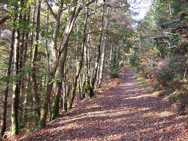
Woodland path above Tal-y-bont
 Map © Crown Copyright")
TIP: Click the map for more Large scale mapping
- Grid Square
- SN6489, 26 images (more nearby 🔍)
- Photographer
- Marcus Byron (more nearby)
- Date Taken
- Wednesday, 24 October, 2007 (more nearby)
- Submitted
- Friday, 26 October, 2007
- Subject Location
-
OSGB36:
 SN 645 890 [100m precision]
WGS84: 52:28.9351N 3:59.7255W - Camera Location
-
OSGB36: SN 647 890
- View Direction
- WEST (about 270 degrees)