2018
NY7937 : Moorland around the cleugh of Scraith Burn
taken 5 years ago, 5 km NW of Harwood, County Durham, England
This is 1 of 2 images, with title Moorland around the cleugh of Scraith Burn in this square
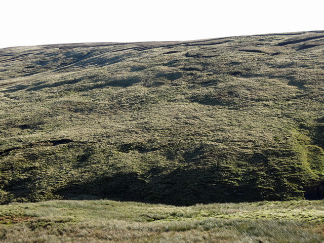
Moorland around the cleugh of Scraith Burn
 Map © Crown Copyright")
TIP: Click the map for more Large scale mapping
- Grid Square
- NY7937, 48 images (more nearby 🔍)
- Photographer
- Mike Quinn (more nearby)
- Date Taken
- Thursday, 18 October, 2018 (more nearby)
- Submitted
- Sunday, 28 October, 2018
- Subject Location
-
OSGB36:
 NY 7961 3718 [10m precision]
WGS84: 54:43.7512N 2:19.0880W - Camera Location
-
OSGB36: NY 7938 3731
- View Direction
- East-southeast (about 112 degrees)