2018
NT0353 : The A70 near Dryburn Bridge
taken 5 years ago, near to Tarbrax, South Lanarkshire, Scotland
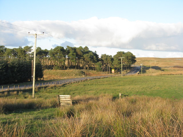
The A70 near Dryburn Bridge
With pasture and coniferous shelter belt.
 Map © Crown Copyright")
TIP: Click the map for more Large scale mapping
- Grid Square
- NT0353, 9 images (more nearby 🔍)
- Photographer
- M J Richardson (more nearby)
- Date Taken
- Monday, 29 October, 2018 (more nearby)
- Submitted
- Monday, 29 October, 2018
- Subject Location
-
OSGB36:
 NT 0371 5397 [10m precision]
WGS84: 55:46.1669N 3:32.1823W - Camera Location
-
OSGB36: NT 0364 5388
- View Direction
- Northeast (about 45 degrees)