2018
SX7967 : Green lane to Knowle
taken 5 years ago, near to Forder Green, Devon, England
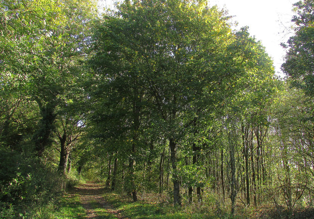
Green lane to Knowle
Through Sutcliffe Community Woodland. The lane is a route with public access; the woods were planted in 1990 by Lot and Simon Sutcliffe. Taken from next to a small car park near Waytown Cross.
 Map © Crown Copyright")
TIP: Click the map for more Large scale mapping
- Grid Square
- SX7967, 32 images (more nearby 🔍)
- Photographer
- Derek Harper (more nearby)
- Date Taken
- Monday, 22 October, 2018 (more nearby)
- Submitted
- Monday, 29 October, 2018
- Subject Location
-
OSGB36:
 SX 7934 6744 [10m precision]
WGS84: 50:29.6581N 3:42.1487W - Camera Location
-
OSGB36: SX 7930 6743
- View Direction
- EAST (about 90 degrees)