2018
TQ2858 : Bouverie Road
taken 5 years ago, near to Chipstead, Surrey, England
This is 1 of 3 images, with title Bouverie Road in this square
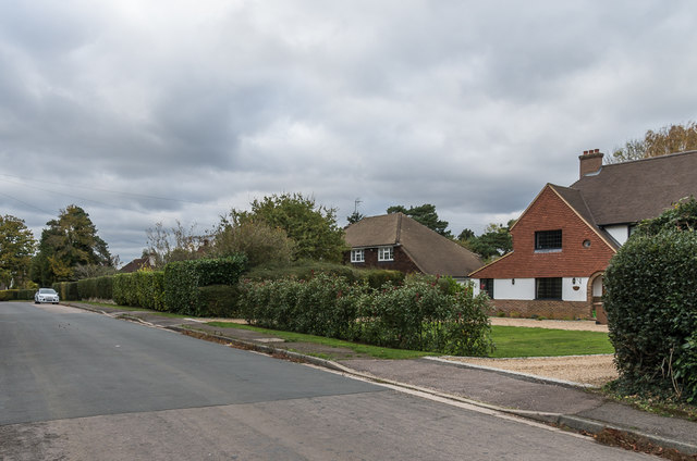
Bouverie Road
Road shown as laid out but not yet developed on the 1913 1:2,500 map.
 Map © Crown Copyright")
TIP: Click the map for more Large scale mapping
- Grid Square
- TQ2858, 39 images (more nearby 🔍)
- Photographer
- Ian Capper (more nearby)
- Date Taken
- Saturday, 27 October, 2018 (more nearby)
- Submitted
- Sunday, 4 November, 2018
- Subject Location
-
OSGB36:
 TQ 284 582 [100m precision]
WGS84: 51:18.5150N 0:9.4806W - Camera Location
-
OSGB36: TQ 285 581
- View Direction
- Northwest (about 315 degrees)