2018
TQ2958 : Downs Road
taken 5 years ago, near to Coulsdon, Croydon, England
This is 1 of 6 images, with title Downs Road in this square
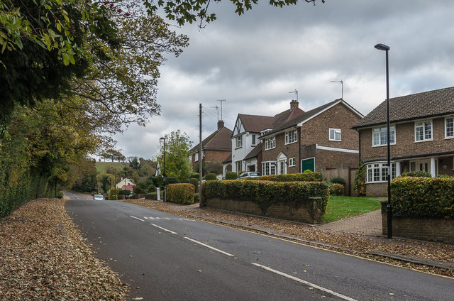
Downs Road
Maps suggest that this part of Downs Road was developed in the 1950s, with the nearest houses being later.
 Map © Crown Copyright")
TIP: Click the map for more Large scale mapping
- Grid Square
- TQ2958, 137 images (more nearby 🔍)
- Photographer
- Ian Capper (more nearby)
- Date Taken
- Saturday, 27 October, 2018 (more nearby)
- Submitted
- Sunday, 4 November, 2018
- Subject Location
-
OSGB36:
 TQ 295 580 [100m precision]
WGS84: 51:18.4068N 0:8.6112W - Camera Location
-
OSGB36: TQ 294 580
- View Direction
- EAST (about 90 degrees)