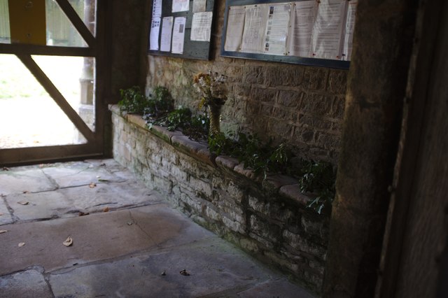
TF0130 : The Church of St Bartholomew: Autumn in the porch
taken 5 years ago, near to Ingoldsby, Lincolnshire, England
The church dates from the 12th Century onwards.
The three stage tower was built in the 16th century.
The church consists of a north aisle with Norman arches, south aisle with 13C arches, nave, 14C chancel and tower, porch, roof of nave and font from 15C. The Victorians carried out extensive repairs including the north windows, chancel roof but not the east wall. The chancel has also been shortened, possibly in the 18C. The east window is 15th century and has three lights.
There are fragments of 13th C. stained glass in the south aisle east window and also in the north window of the chancel. The south door has been dated to late 14C. pre-dating the porch. Lead graffiti at the back of the church, taken from the roof, suggests leading villagers and church wardens with access to the roof. There is also other graffiti on pillars at the west end and in the porch, which is 16th century and features a defaced gargoyle with a ruff.
There are 17th century carved chairs in the chancel.
The south aisle has 15th century tomb recess with damaged decoration. There is also a tomb recess in the chancel.
The dedication of this church changed from St Andrew to St Bartholomew in the 19th Century.
 Map © Crown Copyright")
- Grid Square
- TF0130, 84 images (more nearby 🔍)
- Photographer
- Bob Harvey (more nearby)
- Date Taken
- Saturday, 20 October, 2018 (more nearby)
- Submitted
- Tuesday, 6 November, 2018
- Subject Location
-
OSGB36:
 TF 0101 3005 [10m precision]
WGS84: 52:51.5084N 0:30.0726W - Camera Location
-
OSGB36: TF 0102 3006
- View Direction
- South-southwest (about 202 degrees)