2018
NH1223 : An Tudair
taken 6 years ago, near to An Tudair [hill or Mountain], Highland, Great Britain
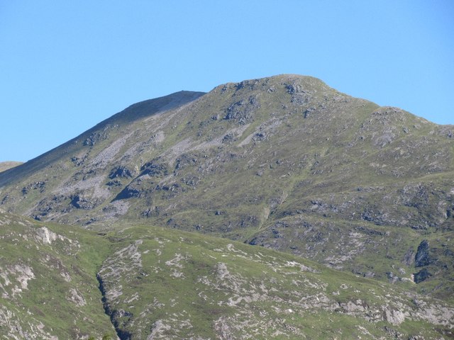
An Tudair
A top of Màm Sodhail, situated towards the end of a long spur. It is a very striking part of many views in Glen Affric.
 Map © Crown Copyright")
TIP: Click the map for more Large scale mapping
- Grid Square
- NH1223, 4 images (more nearby 🔍)
- Photographer
- Richard Webb (more nearby)
- Date Taken
- Thursday, 26 July, 2018 (more nearby)
- Submitted
- Wednesday, 7 November, 2018
- Subject Location
-
OSGB36:
 NH 128 237 [100m precision]
WGS84: 57:15.9796N 5:6.3287W - Camera Location
-
OSGB36: NH 138 205
- View Direction
- North-northwest (about 337 degrees)