2016
TQ5282 : Rainham Creek
taken 8 years ago, near to Rainham, Havering, England
Rainham Creek
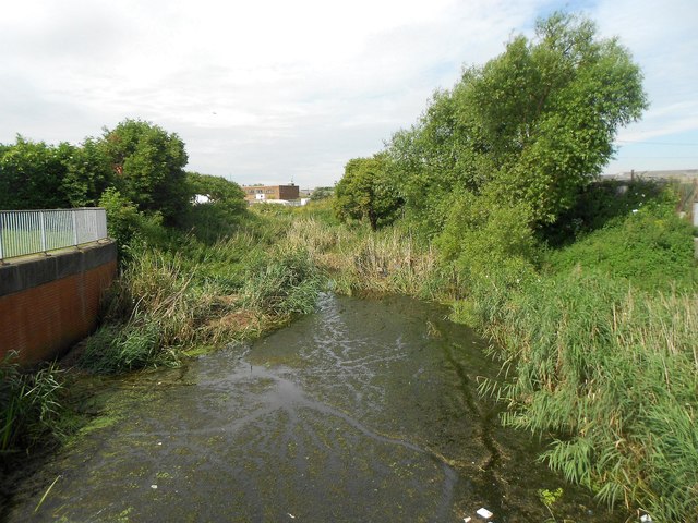
This is the view of the upstream end of Rainham Creek from the Red Bridge, which is, according to old large scale Ordnance Survey maps, historically the normal tidal limit.
 Map © Crown Copyright")
TIP: Click the map for more Large scale mapping
- Grid Square
- TQ5282, 173 images (more nearby 🔍)
- Photographer
- Nigel Cox (more nearby)
- Date Taken
- Thursday, 7 July, 2016 (more nearby)
- Submitted
- Wednesday, 7 November, 2018
- Subject Location
-
OSGB36:
 TQ 5200 8247 [10m precision]
WGS84: 51:31.2420N 0:11.3673E - Camera Location
-
OSGB36: TQ 5203 8249
- View Direction
- West-southwest (about 247 degrees)