2007
ND2076 : Dunnet Head: trig point, wartime ruins, lighthouse
taken 16 years ago, 3 km from Brough, Highland, Scotland
This is 1 of 45 images, with title starting with Dunnet Head in this square
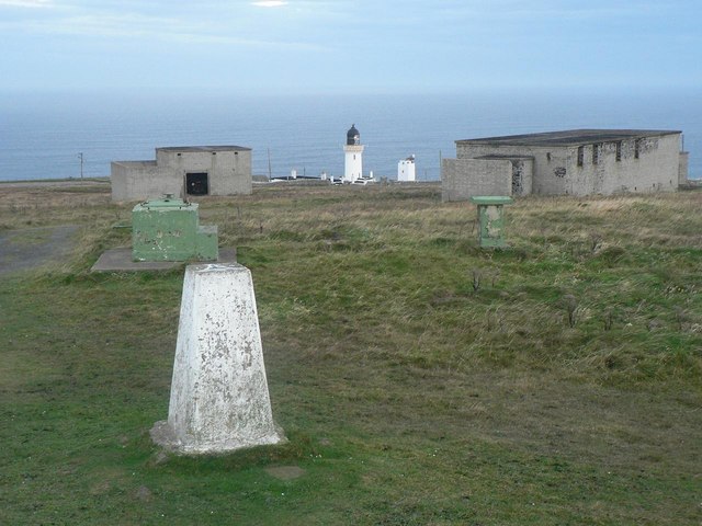
Dunnet Head: trig point, wartime ruins, lighthouse
The top of Dunnet Head was used for military purposes during the War, as these few relict buildings hint at.
 Map © Crown Copyright")
TIP: Click the map for more Large scale mapping
- Grid Square
- ND2076, 222 images (more nearby 🔍)
- Photographer
- Chris Downer (more nearby)
- Date Taken
- Tuesday, 23 October, 2007 (more nearby)
- Submitted
- Sunday, 28 October, 2007
- Subject Location
-
OSGB36:
 ND 203 766 [100m precision]
WGS84: 58:40.2083N 3:22.4582W - Camera Location
-
OSGB36: ND 205 764
- View Direction
- Northwest (about 315 degrees)