2018
TQ2757 : Stagbury Close
taken 5 years ago, near to Chipstead, Surrey, England
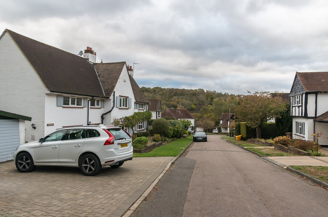
Stagbury Close
Cul-de-sac off Hazelwood Lane, shown as laid out (but with only one house at that stage) on the 1935 1:2,500 map.
 Map © Crown Copyright")
TIP: Click the map for more Large scale mapping
- Grid Square
- TQ2757, 91 images (more nearby 🔍)
- Photographer
- Ian Capper (more nearby)
- Date Taken
- Saturday, 27 October, 2018 (more nearby)
- Submitted
- Friday, 9 November, 2018
- Subject Location
-
OSGB36:
 TQ 274 578 [100m precision]
WGS84: 51:18.3348N 0:10.3804W - Camera Location
-
OSGB36: TQ 274 578
- View Direction
- West-northwest (about 292 degrees)