2018
TL3365 : Bridleway to Conington
taken 6 years ago, near to Boxworth, Cambridgeshire, England
This is 1 of 2 images, with title Bridleway to Conington in this square
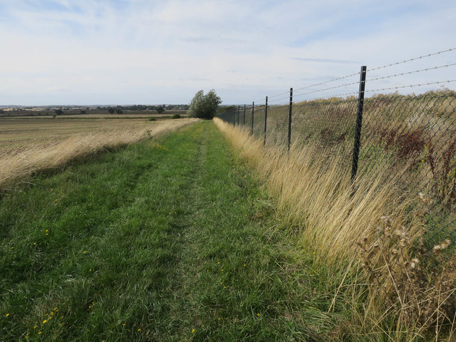
Bridleway to Conington
Compare with TL3365 : Bridleway to Conington. The area to the right is currently an extraction site for material to build the new A14. As it is a raised area it will be returned to farmland after extraction, with other extraction sites becoming wetlands.
 Map © Crown Copyright")
TIP: Click the map for more Large scale mapping
- Grid Square
- TL3365, 5 images (more nearby 🔍)
- Photographer
- Hugh Venables (more nearby)
- Date Taken
- Sunday, 9 September, 2018 (more nearby)
- Submitted
- Friday, 9 November, 2018
- Subject Location
-
OSGB36:
 TL 3388 6513 [10m precision]
WGS84: 52:16.0823N 0:2.3686W - Camera Location
-
OSGB36: TL 33935 65086
- View Direction
- Northwest (about 315 degrees)