2018
NJ1827 : A Long Fence
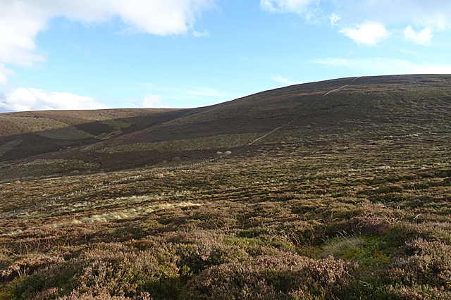
taken 5 years ago, near to Glenlivet, Moray, Scotland
A Long Fence
Many of the fences shown on the maps along the Tomintoul Spur of the Speyside Way are no longer there or, if they are, are too dilapidated to be serving any useful purpose. This one, going straight up to the summit of Carn Liath, is in much better shape. The official Speyside Way web site is at Link - beware an unofficial site with a similar URL ending in .org.
Speyside Way
The Speyside Way is a long-distance path linking Buckie on the Moray Coast to Aviemore in Strathspey.
The official Speyside Way web site at Link
Beware a similar-sounding unofficial web site ending in .org that contains inaccurate information but tends to come up in search engines well ahead of the official one!
 Map © Crown Copyright")
TIP: Click the map for more Large scale mapping
- Grid Square
- NJ1827, 16 images (more nearby 🔍)
- Photographer
- Anne Burgess (more nearby)
- Date Taken
- Thursday, 8 November, 2018 (more nearby)
- Submitted
- Saturday, 10 November, 2018
- Subject Location
-
OSGB36:
 NJ 1831 2727 [10m precision]
WGS84: 57:19.7174N 3:21.5026W - Camera Location
-
OSGB36: NJ 1811 2748
- View Direction
- Southeast (about 135 degrees)