2018
TF1884 : Hainton: aerial 2018
taken 6 years ago, near to Hainton, Lincolnshire, England
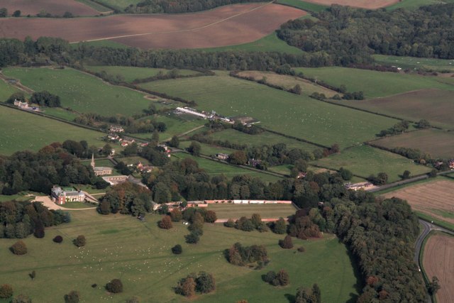
Hainton: aerial 2018
 Map © Crown Copyright")
TIP: Click the map for more Large scale mapping
- Grid Square
- TF1884, 72 images (more nearby 🔍)
- Photographer
- Chris (more nearby)
- Date Taken
- Monday, 8 October, 2018 (more nearby)
- Submitted
- Sunday, 11 November, 2018
- Subject Location
-
OSGB36:
 TF 181 843 [100m precision]
WGS84: 53:20.5449N 0:13.6188W - Camera Location
-
OSGB36: TF 172 821
- View Direction
- North-northeast (about 22 degrees)