2018
TQ3480 : The southeast leg of Brewhouse Lane, Wapping
taken 6 years ago, near to Stepney, Tower Hamlets, England
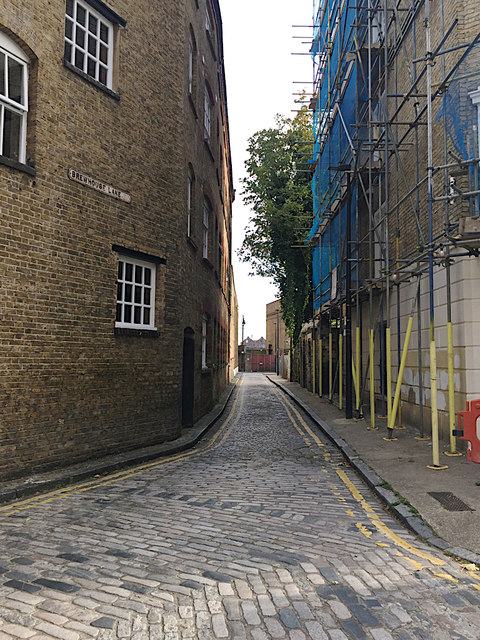
The southeast leg of Brewhouse Lane, Wapping
It leads to Wapping High Street, which closely follows the bank of the Thames. On the right is Tower Buildings TQ3480 : Corner of Tower Buildings, corner of Brewhouse Lane, Wapping. Appreciate the skill of the pavier the camber to the road surface that allows surface water to drain away, and the way the rows of setts both interlock and change direction at the double corner.
 Map © Crown Copyright")
TIP: Click the map for more Large scale mapping
- Grid Square
- TQ3480, 850 images (more nearby 🔍)
- Photographer
- Robin Stott (more nearby)
- Date Taken
- Saturday, 13 October, 2018 (more nearby)
- Submitted
- Wednesday, 14 November, 2018
- Subject Location
-
OSGB36:
 TQ 3489 8012 [10m precision]
WGS84: 51:30.2355N 0:3.4737W - Camera Location
-
OSGB36: TQ 3488 8015
- View Direction
- South-southeast (about 157 degrees)