2018
SE1683 : Millstone Bank plantation
taken 5 years ago, near to Ellingstring, North Yorkshire, England
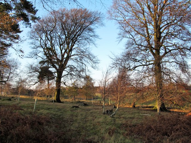
Millstone Bank plantation
One cannot be sure if the name on the OS map refers to this area of woodland or another close by. Also interesting to note that the nearby moorland is shown as 'Milestone Bank' on the map. Of the two names I would think 'Millstone' is the more appropriate as this is an area littered with millstone grit boulders, whilst there are no milestones to be seen anywhere.
 Map © Crown Copyright")
TIP: Click the map for more Large scale mapping
- Grid Square
- SE1683, 21 images (more nearby 🔍)
- Photographer
- Gordon Hatton (more nearby)
- Date Taken
- Thursday, 15 November, 2018 (more nearby)
- Submitted
- Friday, 16 November, 2018
- Subject Location
-
OSGB36:
 SE 1656 8379 [10m precision]
WGS84: 54:14.9717N 1:44.8411W - Camera Location
-
OSGB36: SE 1658 8375
- View Direction
- North-northwest (about 337 degrees)