2018
SE9256 : Chalkland Way
taken 5 years ago, 3 km from Wetwang, East Riding of Yorkshire, England
This is 1 of 3 images, with title starting with Chalkland in this square
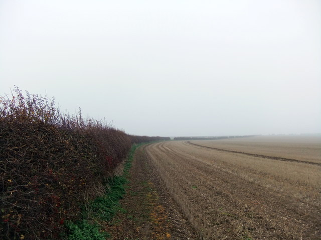
Chalkland Way
 Map © Crown Copyright")
TIP: Click the map for more Large scale mapping
- Grid Square
- SE9256, 12 images (more nearby 🔍)
- Photographer
- David Brown (more nearby)
- Date Taken
- Friday, 16 November, 2018 (more nearby)
- Submitted
- Friday, 16 November, 2018
- Subject Location
-
OSGB36:
 SE 9277 5639 [10m precision]
WGS84: 53:59.7136N 0:35.1830W - Camera Location
-
OSGB36: SE 9285 5664
- View Direction
- South-southwest (about 202 degrees)