2018
NJ1934 : Old Barn at Auldich
taken 5 years ago, near to Bridge of Avon, Moray, Scotland
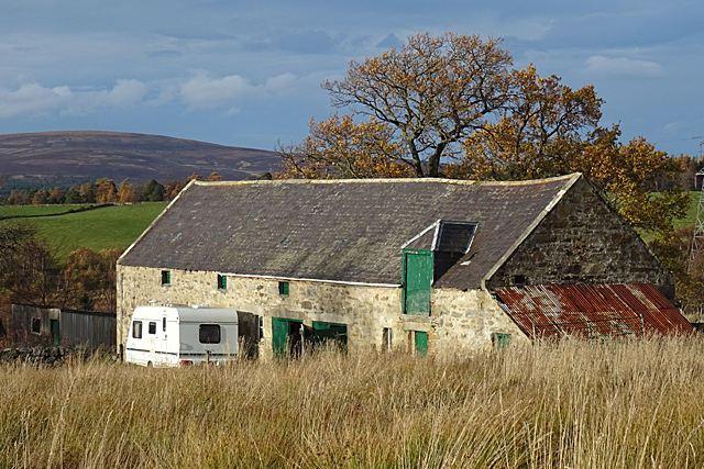
Old Barn at Auldich
The picturesquely sway-backed barn at Auldich, seen from the Tomintoul Spur of the Speyside Way Link . It would be even more picturesque without the modern intrusion of the caravan!
Speyside Way
The Speyside Way is a long-distance path linking Buckie on the Moray Coast to Aviemore in Strathspey.
The official Speyside Way web site at Link
Beware a similar-sounding unofficial web site ending in .org that contains inaccurate information but tends to come up in search engines well ahead of the official one!
 Map © Crown Copyright")
TIP: Click the map for more Large scale mapping
- Grid Square
- NJ1934, 11 images (more nearby 🔍)
- Photographer
- Anne Burgess (more nearby)
- Date Taken
- Monday, 12 November, 2018 (more nearby)
- Submitted
- Monday, 19 November, 2018
- Subject Location
-
OSGB36:
 NJ 1962 3478 [10m precision]
WGS84: 57:23.7778N 3:20.3449W - Camera Location
-
OSGB36: NJ 1966 3473
- View Direction
- Northwest (about 315 degrees)