2018
TQ1758 : Green Lane
taken 6 years ago, near to Ashtead, Surrey, England
This is 1 of 3 images, with title Green Lane in this square
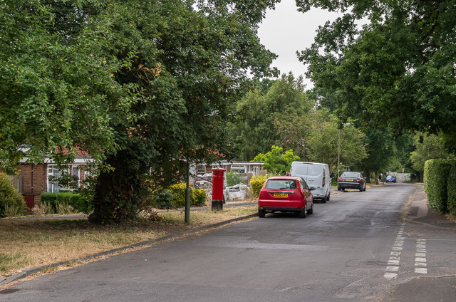
Green Lane
Housing on what was (as the name suggests) once a track, with development commencing around the 1960s. For a close up of the postbox, which despite the age of the development of this road is Victorian, having been moved here at some point from Oakfield Road, see TQ1758 : Victorian postbox.
 Map © Crown Copyright")
TIP: Click the map for more Large scale mapping
- Grid Square
- TQ1758, 65 images (more nearby 🔍)
- Photographer
- Ian Capper (more nearby)
- Date Taken
- Friday, 20 July, 2018 (more nearby)
- Submitted
- Tuesday, 20 November, 2018
- Subject Location
-
OSGB36:
 TQ 175 584 [100m precision]
WGS84: 51:18.7834N 0:18.9230W - Camera Location
-
OSGB36: TQ 175 584
- View Direction
- Northwest (about 315 degrees)