2018
N2859 : Royal Canal seen from Kiddy's Bridge
taken 6 years ago, near to Ballynacarrigy, Co Westmeath, Ireland
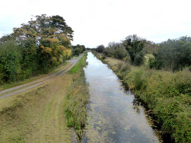
Royal Canal seen from Kiddy's Bridge
The towpath is in the process of being upgraded to a foot- and cycle-path linking Dublin with the River Shannon via Mullingar and Longford.
Loading map... (JavaScript required)
- Grid Square
- N2859, 3 images (more nearby 🔍)
- Photographer
- Oliver Dixon (more nearby)
- Date Taken
- Monday, 8 October, 2018 (more nearby)
- Submitted
- Monday, 26 November, 2018
- Subject Location
-
Irish:
 N 283 590 [100m precision]
WGS84: 53:34.8293N 7:34.3632W - Camera Location
-
Irish: N 285 590
- View Direction
- WEST (about 270 degrees)