2018
H5069 : Lane along a field, Donaghanie
taken 5 years ago, 4 km WNW of Beragh, Co Tyrone, Northern Ireland
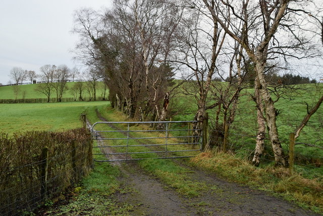
Lane along a field, Donaghanie
Pictured along Lisboy Road
Lisboy Townland is to the right of the hedge
Lisboy Townland is to the right of the hedge
Loading map... (JavaScript required)
- Grid Square
- H5069, 165 images (more nearby 🔍)
- Photographer
- Kenneth Allen (more nearby)
- Date Taken
- Monday, 10 December, 2018 (more nearby)
- Submitted
- Monday, 10 December, 2018
- Subject Location
-
Irish:
 H 508 693 [100m precision]
WGS84: 54:34.1831N 7:12.9104W - Camera Location
-
Irish: H 508 693
- View Direction
- Northwest (about 315 degrees)