2018
SE5627 : Arable land between Pale Lane and Paperhouse Lane
taken 5 years ago, near to West Haddlesey, North Yorkshire, England
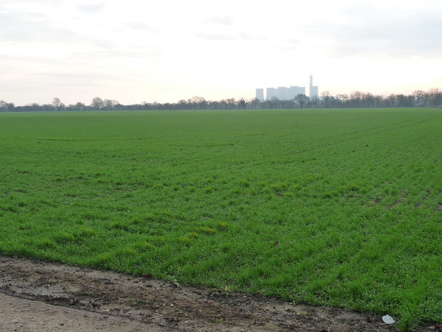
Arable land between Pale Lane and Paperhouse Lane
On the horizon is Eggborough power station, now closed.
 Map © Crown Copyright")
TIP: Click the map for more Large scale mapping
- Grid Square
- SE5627, 23 images (more nearby 🔍)
- Photographer
- Christine Johnstone (more nearby)
- Date Taken
- Wednesday, 12 December, 2018 (more nearby)
- Submitted
- Friday, 14 December, 2018
- Subject Location
-
OSGB36:
 SE 5619 2767 [10m precision]
WGS84: 53:44.5434N 1:8.9719W - Camera Location
-
OSGB36: SE 5602 2789
- View Direction
- Southeast (about 135 degrees)