2018
SS6849 : Near Crock Point
taken 6 years ago, near to Martinhoe, Devon, England
This is 1 of 3 images, with title Near Crock Point in this square
Near Crock Point
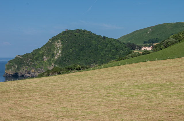
A field above Crock Point. In the left background is Duty Point, topped by the mid 19th Century folly of Duty Point Tower, and in the right background is Lee Abbey.
 Map © Crown Copyright")
TIP: Click the map for more Large scale mapping
- Grid Square
- SS6849, 44 images (more nearby 🔍)
- Photographer
- Ian Capper (more nearby)
- Date Taken
- Monday, 11 June, 2018 (more nearby)
- Submitted
- Thursday, 20 December, 2018
- Subject Location
-
OSGB36:
 SS 687 492 [100m precision]
WGS84: 51:13.6449N 3:52.8239W - Camera Location
-
OSGB36: SS 687 492
- View Direction
- East-northeast (about 67 degrees)