2018
NO2595 : Lane near Crathienaird
taken 6 years ago, near to Crathie, Aberdeenshire, Scotland
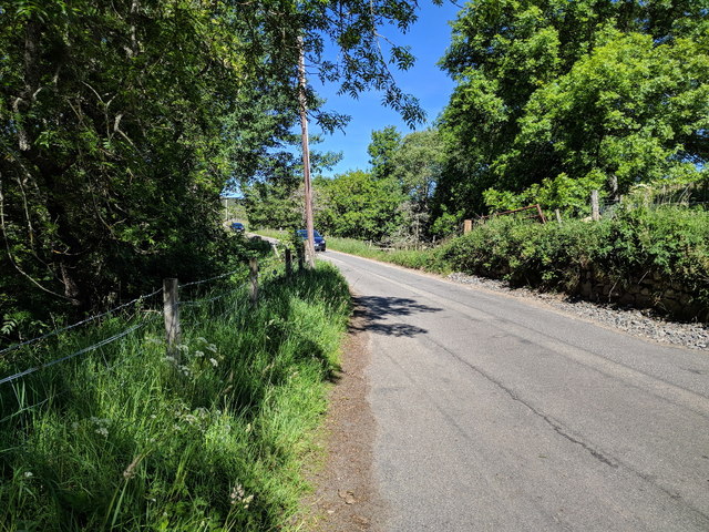
Lane near Crathienaird
 Map © Crown Copyright")
TIP: Click the map for more Large scale mapping
- Grid Square
- NO2595, 63 images (more nearby 🔍)
- Photographer
- Rob Purvis (more nearby)
- Date Taken
- Sunday, 24 June, 2018 (more nearby)
- Submitted
- Saturday, 5 January, 2019
- Subject Location
-
OSGB36:
 NO 2588 9590 [10m precision]
WGS84: 57:2.8912N 3:13.4002W - Camera Location
-
OSGB36: NO 25958 95866
- View Direction
- West-northwest (about 292 degrees)