SK6631 : Irish Jack's Bridge No 27
taken 11 years ago, near to Kinoulton, Nottinghamshire, England
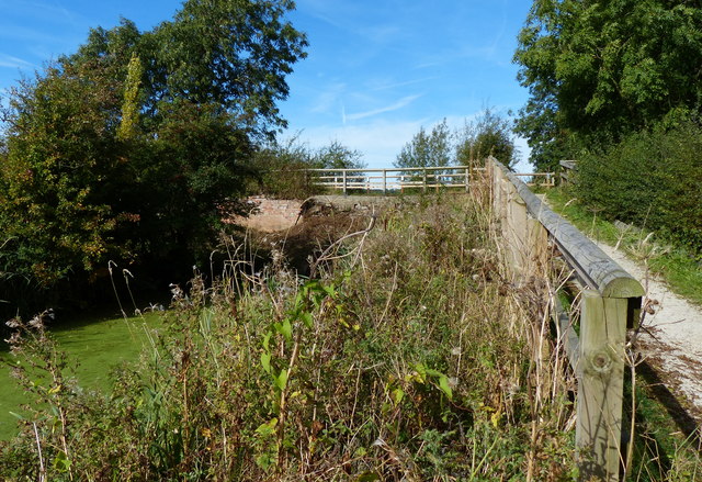
The Grantham Canal was built from the River Trent in Nottingham to Grantham, some 33 miles between 1793 and 1797 at a cost of £118,500 and narrow boats and barges transported coal, building materials and groceries through 18 locks to Grantham. On the return journey they transported corn, malt, beans, wool and other agricultural produce. Due to the development and the success of the railways the canal was closed in 1935 and left to its fate. Over the years it fell into disrepair with many of the "fixtures and fittings" being demolished.
The Grantham Canal Restoration Society is an active body which has been working towards the reopening of the canal as a recreational and commercial waterway. Whether this will ever happen is up for debate with many obstacles in the way.
See Linkfor further information.
 Map © Crown Copyright")
- Grid Square
- SK6631, 49 images (more nearby 🔍)
- Photographer
- Mat Fascione (more nearby)
- Date Taken
- Sunday, 6 October, 2013 (more nearby)
- Submitted
- Sunday, 13 January, 2019
- Subject Location
-
OSGB36:
 SK 669 313 [100m precision]
WGS84: 52:52.5223N 1:0.3849W - Camera Location
-
OSGB36: SK 669 313
- View Direction
- North-northwest (about 337 degrees)