2018
SK5602 : Nos. 83-89 (odds) Braunstone Lane
taken 6 years ago, near to Braunstone Town, Leicestershire, England
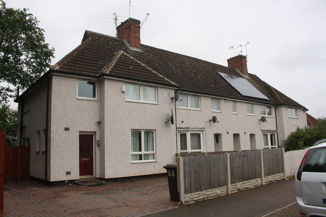
Nos. 83-89 (odds) Braunstone Lane
Ordnance Survey documents indicate that in 1964 there was a cut mark benchmark levelled at 71.576m above Newlyn Datum on the side of the left hand house, which has been pebbledashed with loss of the mark
 Map © Crown Copyright")
TIP: Click the map for more Large scale mapping
- Grid Square
- SK5602, 73 images (more nearby 🔍)
- Photographer
- Roger Templeman (more nearby)
- Date Taken
- Tuesday, 11 September, 2018 (more nearby)
- Submitted
- Sunday, 13 January, 2019
- Subject Location
-
OSGB36:
 SK 5627 0226 [10m precision]
WGS84: 52:36.9124N 1:10.2211W - Camera Location
-
OSGB36: SK 5625 0225
- View Direction
- East-northeast (about 67 degrees)