2018
SP1688 : De Montfort House, Shirrall Grove, Kingshurst, east Birmingham
taken 6 years ago, near to Tile Cross, Birmingham, England
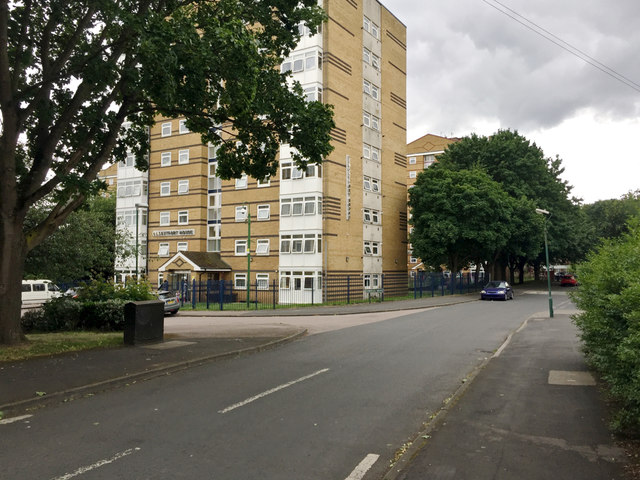
De Montfort House, Shirrall Grove, Kingshurst, east Birmingham
The map says 'Motte and Bailey Castle' in the area but I don't think this is it.
 Map © Crown Copyright")
TIP: Click the map for more Large scale mapping
- Grid Square
- SP1688, 16 images (more nearby 🔍)
- Photographer
- Robin Stott (more nearby)
- Date Taken
- Friday, 15 June, 2018 (more nearby)
- Submitted
- Tuesday, 15 January, 2019
- Subject Location
-
OSGB36:
 SP 1669 8803 [10m precision]
WGS84: 52:29.3959N 1:45.3377W - Camera Location
-
OSGB36: SP 1672 8808
- View Direction
- South-southwest (about 202 degrees)