2019
SE2033 : Waterloo Road in the Delph End district of Pudsey (LS28)
taken 5 years ago, near to Farsley, Leeds, England
This is 1 of 3 images, with title starting with Waterloo Road in this square
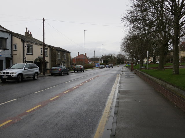
Waterloo Road in the Delph End district of Pudsey (LS28)
Looking north-westward.
 Map © Crown Copyright")
TIP: Click the map for more Large scale mapping
- Grid Square
- SE2033, 228 images (more nearby 🔍)
- Photographer
- Peter Wood (more nearby)
- Date Taken
- Wednesday, 16 January, 2019 (more nearby)
- Submitted
- Wednesday, 16 January, 2019
- Subject Location
-
OSGB36:
 SE 20837 33393 [1m precision]
WGS84: 53:47.7859N 1:41.1090W - Camera Location
-
OSGB36: SE 20882 33376
- View Direction
- West-northwest (about 292 degrees)