2018
SX7848 : Farmland near Higher Coombe Farm
taken 5 years ago, near to East Allington, Devon, England
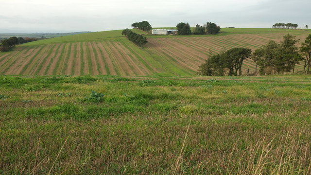
Farmland near Higher Coombe Farm
Across a valley, and a grid line, is a barn, amid a landscape dominated by lines of trees. SX7847 : Pine trees near Higher Lipton looks more to the right from this spot.
 Map © Crown Copyright")
TIP: Click the map for more Large scale mapping
- Grid Square
- SX7848, 27 images (more nearby 🔍)
- Photographer
- Derek Harper (more nearby)
- Date Taken
- Thursday, 25 October, 2018 (more nearby)
- Submitted
- Wednesday, 16 January, 2019
- Subject Location
-
OSGB36:
 SX 786 481 [100m precision]
WGS84: 50:19.2179N 3:42.3989W - Camera Location
-
OSGB36: SX 7875 4785
- View Direction
- North-northwest (about 337 degrees)