2017
NX3864 : A75 near Benfield
taken 7 years ago, near to Benfield, Dumfries And Galloway, Scotland
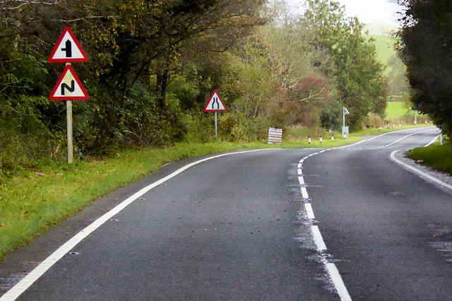
A75 near Benfield
The A75 is a Primary Trunk Road; the main through route for traffic between northern England and Northern Ireland (more specifically the ferry terminal from Cairnryan to Belfast and Larne). It runs for 95½ miles between Stranraer and the A74(M) at Gretna, close to the Border with England and the M6 Motorway. Although it is an important trunk route (it is also a Euroroute, the E18), and has been subject to a number of upgrades over the years, the majority of the road is still single-carriageway although there are a few short dual carriageway sections and some three-lane sections which allow overtaking in one direction.
See other images of The A75
See other images of The A75
 Map © Crown Copyright")
TIP: Click the map for more Large scale mapping
- Grid Square
- NX3864, 11 images (more nearby 🔍)
- Photographer
- David Dixon (more nearby)
- Date Taken
- Friday, 29 September, 2017 (more nearby)
- Submitted
- Friday, 18 January, 2019
- Subject Location
-
OSGB36:
 NX 381 643 [100m precision]
WGS84: 54:56.8361N 4:31.7612W - Camera Location
-
OSGB36: NX 380 642
- View Direction
- East-northeast (about 67 degrees)