2018
ST5391 : Cycle path next to the A466
taken 6 years ago, near to Mathern, Monmouthshire/Sir Fynwy, Wales
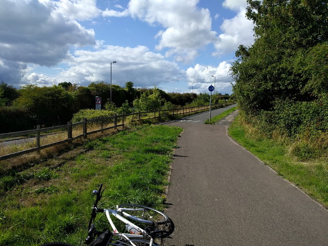
Cycle path next to the A466
 Map © Crown Copyright")
TIP: Click the map for more Large scale mapping
- Grid Square
- ST5391, 115 images (more nearby 🔍)
- Photographer
- Rob Purvis (more nearby)
- Date Taken
- Saturday, 25 August, 2018 (more nearby)
- Submitted
- Saturday, 19 January, 2019
- Subject Location
-
OSGB36:
 ST 5343 9171 [10m precision]
WGS84: 51:37.3363N 2:40.4458W - Camera Location
-
OSGB36: ST 53485 91673
- View Direction
- Northwest (about 315 degrees)