2019
TR3140 : The lock of the navigation cut
taken 5 years ago, near to Dover, Kent, England
This is 1 of 2 images, with title The lock of the navigation cut in this square
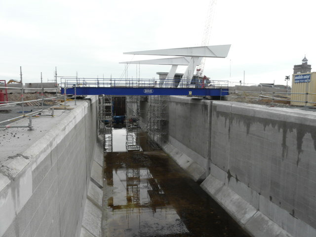
The lock of the navigation cut
The view also shows the bridge used by contractors and the towers of the bascule bridge. The location of the lock is visible in this image of the TR3140 : Construction site, quay beside Wellington Dock.
Planning permission has been granted by Dover District Council, under application number DOV/16/01305, for the modification of legal agreement (under S.106 of the Town and Country Planning Act 1990) to planning permission DOV/98/00334, to allow for the removal of 20 off-street residents parking spaces (to facilitate (a) navigational cut between Dover Harbour and Wellington Dock under the Dover Western Docks Revival Scheme).
More images of the navigational cut and bascule bridge may be seen on Link
 Map © Crown Copyright")
TIP: Click the map for more Large scale mapping
- Grid Square
- TR3140, 785 images (more nearby 🔍)
- Photographer
- John Baker (more nearby)
- Date Taken
- Friday, 11 January, 2019 (more nearby)
- Submitted
- Wednesday, 23 January, 2019
- Subject Location
-
OSGB36:
 TR 3189 4085 [10m precision]
WGS84: 51:7.1988N 1:18.7305E - Camera Location
-
OSGB36: TR 3187 4086
- View Direction
- East-southeast (about 112 degrees)