2016
SS5698 : Loughor boundary sign
taken 8 years ago, near to Loughor, Swansea/Abertawe, Wales
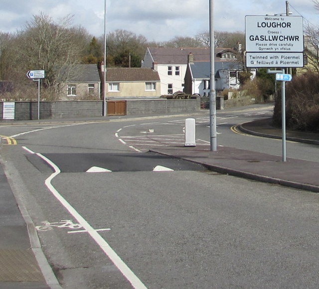
Loughor boundary sign
The sign in the middle of the A4240 Castle Street shows that Loughor is twinned with Ploërmel in Brittany, France. The Welsh name for Loughor is Casllwchwr. The sign shows a mutated form Gasllwchwr.
 Map © Crown Copyright")
TIP: Click the map for more Large scale mapping
- Grid Square
- SS5698, 76 images (more nearby 🔍)
- Photographer
- Jaggery (more nearby)
- Date Taken
- Friday, 25 March, 2016 (more nearby)
- Submitted
- Friday, 1 February, 2019
- Subject Location
-
OSGB36:
 SS 5628 9802 [10m precision]
WGS84: 51:39.7518N 4:4.7613W - Camera Location
-
OSGB36: SS 5626 9801
- View Direction
- East-northeast (about 67 degrees)